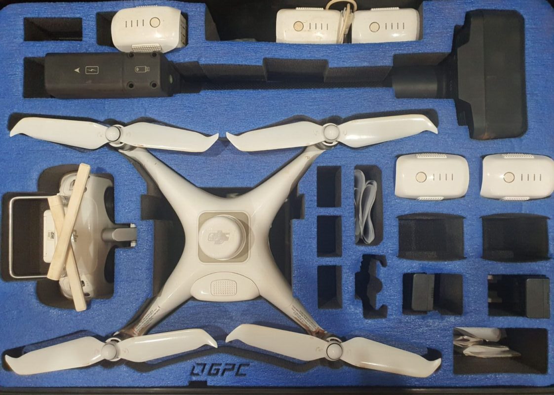
With the expanding Capabilities, ever increasing efficiencies and development there is now more and more a need for drone surveying in almost every job that we take on. Photogrammetry, Mapping, Imagery, Digital Terrain Models, Volumes, Areas, Heights, Government Submissions and general Photos/Videos